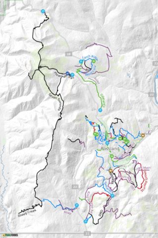
GEO-REFERENCED MAP
Track your location on the trails with your smart phone - no data required.
The Rossland Trails Map is 'georeferenced'. By downloading the free* Avenza app and our trails map to your smart phone you can track your location at any time while out on the trails! The app does not require cellular service or internet access to function.
The Avenza Maps app uses your phone's built-in GPS to precisely track your location with a moving blue dot in real time! The app also provides a number of other features including the ability to zoom in or out, drop and label placemarks, attach photos, record your track distance & time and more.
*The Avenza Maps free subscription allows personal use and up to three maps loaded at any one time.
Click the map image to download the map to your phone. Please note that the map will be updated over time so check the version that you have and update when required. Versions will be identified by the v(x) part of the file name. e.g. Rossland.v3.tiff Below are links for Avenza, the app needed to use the map. Download it to your phone. Once Avenza is running on your phone, load the Rossland map. * Note that you can have many map files loaded on your phone, but only 3 at a time in Avenza with the free version. |

